Village Huejotzingo, Puebla Municipality of Huejotzingo Volcano Route Monasteries on the slopes of Popocatépetl Puebla Valley
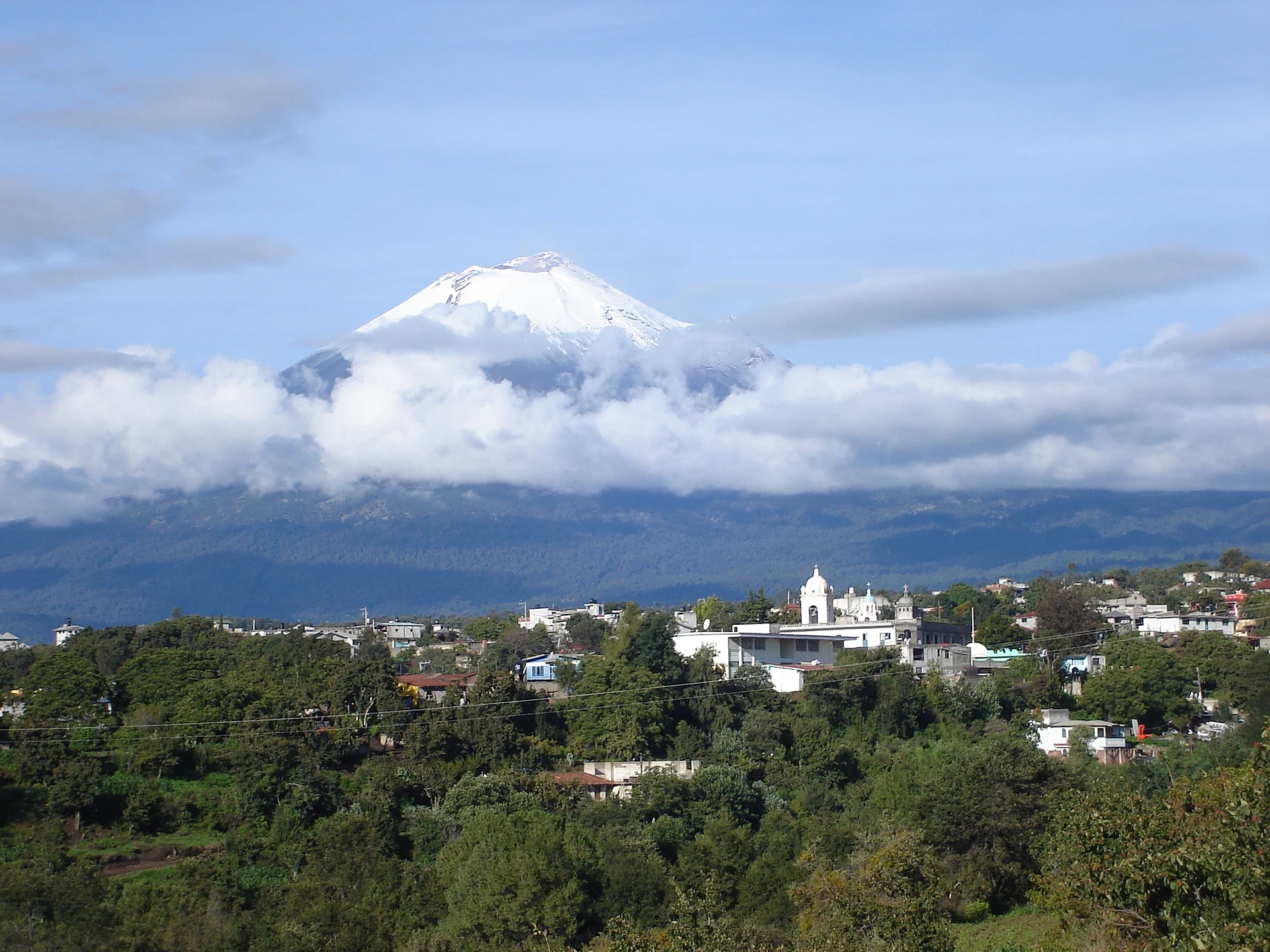
Village of Huejotzingo at 2,400 m on the eastern slope of Iztaccíhuatl, "in the water that springs from the rock", with upper and lower quarters.
From San Martín Texmelucan: 30 min by car (25 km by road) How to get there ↓
Near here
See everything nearby ↓


Plan your visit to Santa María Atexcac
Where to stay near Santa María Atexcac
Compare hotels, posadas and guest houses in Santa María Atexcac.
Tours to Santa María Atexcac
Day trips and guided outings from Huejotzingo often include Santa María Atexcac; with a local guide you can get there without a car.
 Tours from Atlixco
Atlixco Volcano Views Popocatépetl Tour Forest Route
From US$108
How to get to Santa María Atexcac
- From San Martín Texmelucan: about 30 min by road (~25 km)
- Nearest airport: Puebla (PBC), 7 min by car to Huejotzingo
Links open a partner site. We may earn a commission if you book, at no cost to you.
Tours from Atlixco, near Santa María Atexcac
Tours, prices and ratings from Viator, checked weekly. We may earn a commission if you book.
About Santa María Atexcac
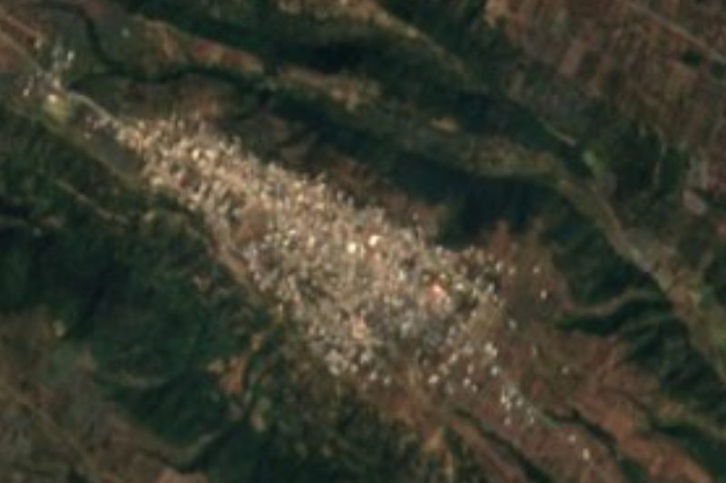
Santa María Atexcac is one of the eight juntas auxiliares of the municipality of Huejotzingo in west-central Puebla, on the eastern slope of the Iztaccíhuatl volcano, several kilometres from the municipal seat. Its square stands at about 2,400 m, and it had 2,936 people in 2020. The name joins the Virgin Mary with the Nahuatl Atexcac, from atl, water, texcalli, rock, and co, in: "in the water that springs from the rock". It is not to be confused with the Atexcac crater lake in the east of the state.
The village was founded in the era of the great haciendas, and there are two versions of its origin. One says it was formed by groups who left the haciendas of San Diego Buenavista, Rancho Cabra and San Sebastián del Monte. The other says it was settled around 1857 by two families, one from Xaltepetlapan and one from Santa María de las Nieves Nepopualco, and that they gave rise to the village's two quarters, de Abajo and de Arriba, lower and upper.
Atexcac lies on the transition between the Puebla valley and the Sierra Nevada. By convention the valley begins below 2,500 m; between 2,500 and 3,000 m are the lower slopes of the range, and above them the Sierra Nevada itself, culminating in Iztaccíhuatl on the State of Mexico line. On the volcano you can make out the Head, 5,146 m, the Chest, 5,383 m, and the Feet, 4,740 m.
How to get to Santa María Atexcac
Drive from San Martín Texmelucan: 30 min, 25 km
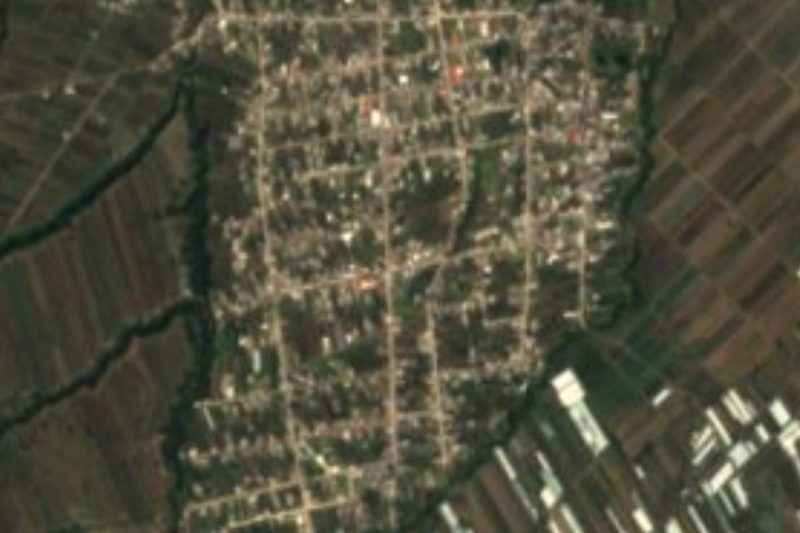
Santa María Atexcac lies in the municipality of Huejotzingo on the eastern slope of Iztaccíhuatl, about 10 km in a straight line from the Pueblo Mágico of Huejotzingo, roughly 20 minutes by car climbing toward the mountains. Puebla city is about 32 km away in a straight line.
Directions to Santa María Atexcac on Google Maps
Distances are in a straight line; the road is usually longer.
Links open a partner site. We may earn a commission if you book, at no cost to you.
From the nearest cities to Santa María Atexcac
- San Martín Texmelucan · 25 km by road, 30 min
- Puebla · 39 km by road, 50 min
- Atlixco · 39 km by road, 50 min
Drive times by road from OpenStreetMap, without traffic or stops. Times marked ~ are estimated from the straight-line distance.
Visiting Santa María Atexcac: what to see and do
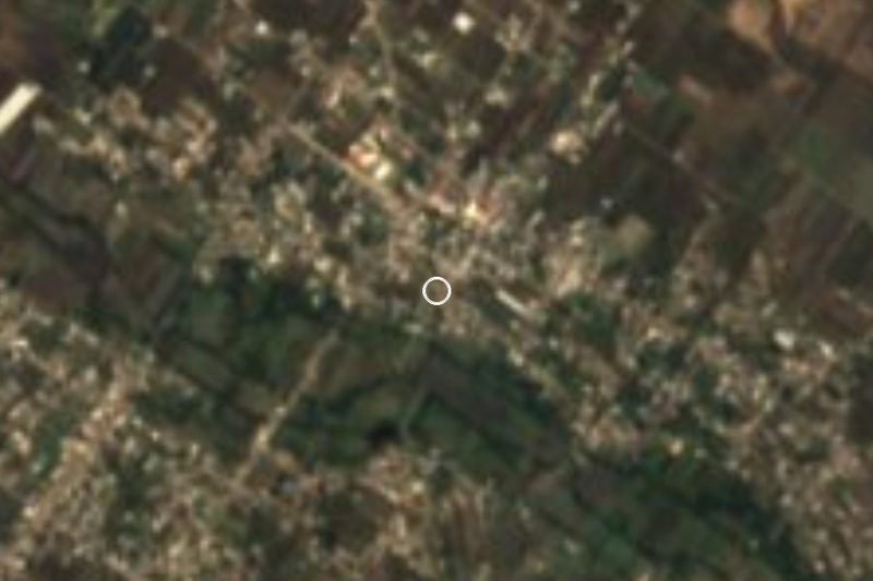
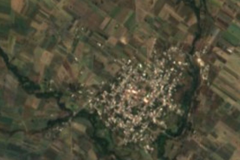
The panoramic view of the village on the slope of Iztaccíhuatl.
The upper and lower quarters.
The outline of Iztaccíhuatl: Head, Chest and Feet.
Pair it with Huejotzingo and its convent, about 10 km away.
Plan your trip
Places to stay in Santa María Atexcac
Compare hotels, posadas, and rentals in and around Santa María Atexcac.
Tours & activities
Day trips and guided outings from Huejotzingo often include Santa María Atexcac; with a local guide you can get there without a car.
Rental cars
Pick up a car at PBC (Puebla): about 7 min by road to Huejotzingo, then 10 km more to Santa María Atexcac, on your own schedule.
Flights
The nearest airport with scheduled flights is Puebla (PBC), about 7 min by road from Huejotzingo, the base for Santa María Atexcac.
Mobile data
Signal can drop away from Huejotzingo: download a map of the way to Santa María Atexcac before you set out, or carry an eSIM with data.
Links open a partner site. We may earn a commission if you book, at no cost to you.
When to go to Santa María Atexcac mild
Santa María Atexcac shares the climate of Huejotzingo, 10 km away. The best months to visit are January, February, March, and November.
See the month-by-month climate of Huejotzingo
Weather in Santa María Atexcac now and the next 7 days
Live forecast from Open-Meteo. Chance of rain is the day's highest.
The closest Pueblo Mágico: Huejotzingo

Huejotzingo is the Pueblo Mágico closest to Santa María Atexcac, with places to stay, food, and more to see.
Also close to
- Cholula · Puebla · 22 km away
- Atlixco · Puebla · 26 km away
- Tlayacapan · Morelos · 55 km away
- Ixtenco · Tlaxcala · 61 km away
- Huamantla · Tlaxcala · 64 km away
Closest to Santa María Atexcac
-
San Andrés Calpan · Landmark · 5 km away
-
San Mateo Ozolco · Village · 5 km away
-
Santiago Xalitzintla · Village · 6 km away
-
Cháhuac · Village · 8 km away
-
San Lorenzo Chiautzingo · Village · 8 km away
-
San Nicolás de los Ranchos · Town · 8 km away
-
San Luis Coyotzingo · Village · 9 km away
-
San Felipe Teotlalcingo · Village · 10 km away

Near Santa María Atexcac






Drive times by road from OpenStreetMap, without traffic. Times marked ~ are estimated from the straight-line distance.
Location from OpenStreetMap. Written by Puebloteca.