Village Cuautinchán, Puebla Municipality of Cuautinchán Puebla Valley
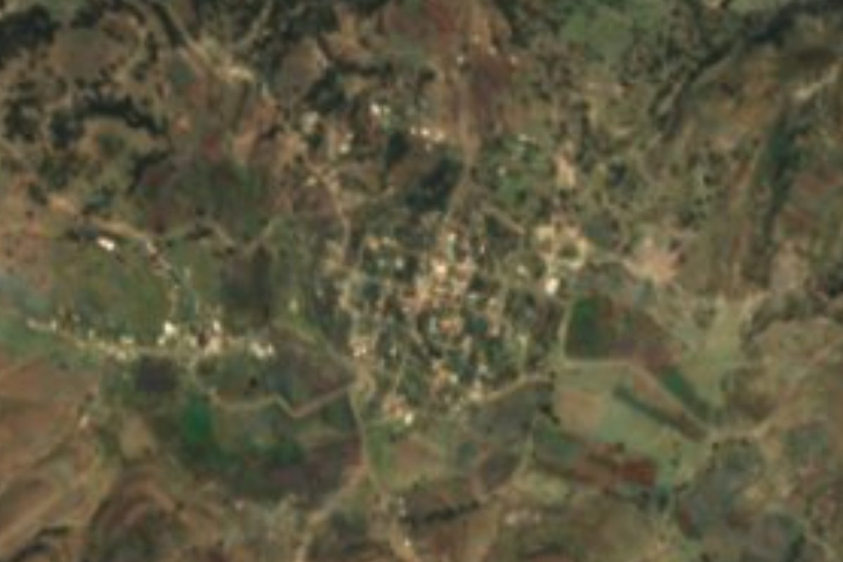
A hamlet of 630 people in northwest Cuautinchán, linked by dirt road to its municipal seat and to Amozoc, only 14 km from Puebla city.
From Puebla: 30 min by car (21 km by road) How to get there ↓
Near here
See everything nearby ↓




Plan your visit to Santa Cruz Alpuyeca
Where to stay near Santa Cruz Alpuyeca
Compare hotels, posadas and guest houses in Santa Cruz Alpuyeca.
Tours to Santa Cruz Alpuyeca
Day trips and guided outings from Cholula often include Santa Cruz Alpuyeca; with a local guide you can get there without a car.
 Tours from Puebla City
Africam Safari Zoo Admission with Transportation
★ 4.8 (87) · From US$35
How to get to Santa Cruz Alpuyeca
- From Puebla: about 30 min by road (~21 km)
- Nearest airport: Puebla (PBC), 16 min by car to Cholula
Links open a partner site. We may earn a commission if you book, at no cost to you.
Tours from Puebla City, near Santa Cruz Alpuyeca


Tours, prices and ratings from Viator, checked weekly. We may earn a commission if you book.
About Santa Cruz Alpuyeca
Although it belongs to Cuautinchán, Santa Cruz Alpuyeca is closer to the state capital than to its own municipal seat: Puebla city is about 14 km away in a straight line, while the town of Cuautinchán is around 15 km off along a dirt road. The same road continues north toward Casa Blanca and Amozoc de Mota. The village occupies the northwest corner of the municipality at 2,201 metres, and the 2020 census recorded 630 inhabitants. On 6 December 2019 a storehouse holding fireworks exploded here; four people died and seven were injured.
Cuautinchán is part of the Puebla metropolitan area and covers about 161 km² in the centre of the state, between Amozoc to the north, Acajete to the northwest, Tepeaca to the east, Tecali de Herrera to the south and southeast, Tzicatlacoyan to the southwest and the municipality of Puebla to the west. Its terrain ranges from 2,000 to 2,560 metres: the Sierra de Amozoc crosses the north, with pine and oak forest; the Valsequillo depression opens to the southwest and the Tepeaca valley in the centre and east. There are no big rivers apart from a short stretch of the Atoyac in the southeast; streams come down from the sierra that only run in the rainy season. More than half the land is rain-fed farmland and another third is grassland for cattle. Averages are around 14 to 18 °C, with 700 to 900 mm of rain.
The municipality's great building is the Franciscan former convent in the seat, Renaissance in style and finished in 1593: it is 143.70 m long and 80 m wide, 20 m high with a 27 m dome, and its façade recalls 16th-century Florentine churches. Cuautinchán's craftspeople carve marble and onyx into figures and ornaments. The local cooking includes chickpeas, alberjón peas, purslane in sauce, barbacoa, mole poblano and tlanipa tamales, with pot beans cooked with a small lump of tequesquite to soften them and handmade tortillas; people drink chocolate and atole, and brass bands play at the patron-saint feasts.
How to get to Santa Cruz Alpuyeca
Drive from Puebla: 30 min, 21 km
It lies about 14 km in a straight line east of Puebla city. A dirt road links it north to Casa Blanca and Amozoc de Mota, and south to the town of Cuautinchán, about 15 km along the road. Cholula is 26 km away.
Directions to Santa Cruz Alpuyeca on Google Maps
Distances are in a straight line; the road is usually longer.
Links open a partner site. We may earn a commission if you book, at no cost to you.
From the nearest cities to Santa Cruz Alpuyeca
Drive times by road from OpenStreetMap, without traffic or stops. Times marked ~ are estimated from the straight-line distance.
Visiting Santa Cruz Alpuyeca: what to see and do
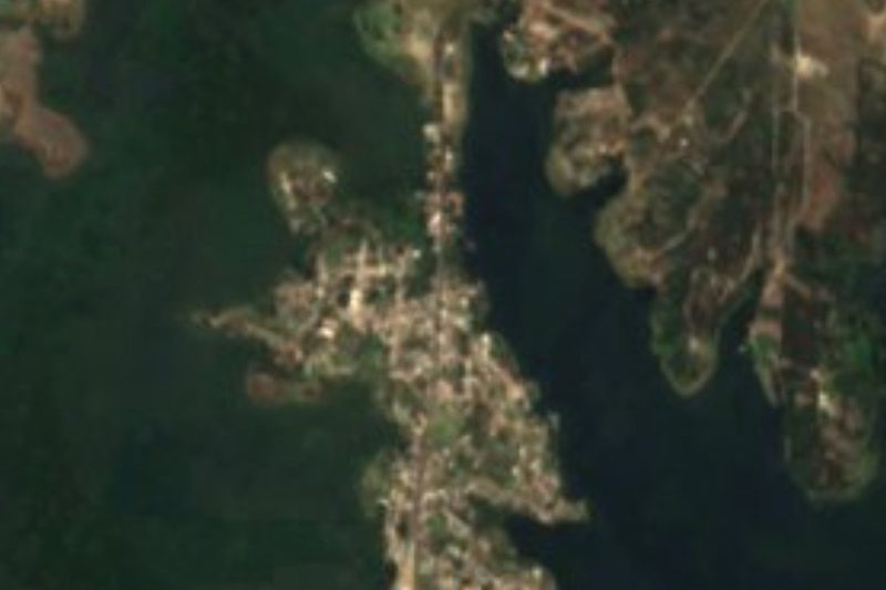
The village and its fields in northwest Cuautinchán.
Cuautinchán's Franciscan former convent, from 1593, about 15 km away.
Marble and onyx carvings from the municipality.
The Sierra de Amozoc, with pine and oak, in the north of the municipality.
Plan your trip
Places to stay in Santa Cruz Alpuyeca
Compare hotels, posadas, and rentals in and around Santa Cruz Alpuyeca.
Tours & activities
Day trips and guided outings from Cholula often include Santa Cruz Alpuyeca; with a local guide you can get there without a car.
Rental cars
Pick up a car at PBC (Puebla): about 16 min by road to Cholula, then 26 km more to Santa Cruz Alpuyeca, on your own schedule.
Flights
The nearest airport with scheduled flights is Puebla (PBC), about 16 min by road from Cholula, the base for Santa Cruz Alpuyeca.
Mobile data
Signal can drop away from Cholula: download a map of the way to Santa Cruz Alpuyeca before you set out, or carry an eSIM with data.
Links open a partner site. We may earn a commission if you book, at no cost to you.
When to go to Santa Cruz Alpuyeca mild
Santa Cruz Alpuyeca shares the climate of Cholula, 26 km away. The best months to visit are January, February, March, and December.
See the month-by-month climate of Cholula
Weather in Santa Cruz Alpuyeca now and the next 7 days
Live forecast from Open-Meteo. Chance of rain is the day's highest.
The closest Pueblo Mágico: Cholula

Cholula is the Pueblo Mágico closest to Santa Cruz Alpuyeca, with places to stay, food, and more to see.
Also close to
- Ixtenco · Tlaxcala · 34 km away
- Atlixco · Puebla · 37 km away
- Huejotzingo · Puebla · 40 km away
- Huamantla · Tlaxcala · 40 km away
- Tlaxco · Tlaxcala · 70 km away
Closest to Santa Cruz Alpuyeca
-
Cuautinchán · Village · 7 km away
-
Africam Safari · Nature reserve · 8 km away
-
Amozoc de Mota · Town · 8 km away
-
Dieciocho de Marzo · Village · 8 km away
-
Presa de Valsequillo · Landmark · 8 km away
-
Santo Tomás Chautla · Village · 8 km away
-
Signoret · Village · 8 km away
-
San Jerónimo Almoloya · Village · 9 km away

Near Santa Cruz Alpuyeca






Drive times by road from OpenStreetMap, without traffic. Times marked ~ are estimated from the straight-line distance.
Location from OpenStreetMap. Written by Puebloteca.